- A 460-mile canyon up to half a mile deep lies beneath Greenland's ice
- The discovery was reported in a scientific journal Thursday
- "It looks like it was a pretty extensive river system millions of years ago," scientist says
(CNN) -- British and American scientists watching Greenland's massive ice sheet have found what appears to be a 460-mile "megacanyon" far beneath the frozen surface of the world's largest island.
Airborne radar images taken by the U.S. space agency NASA and compiled by scientists at the University of Bristol revealed the canyon's existence, Bristol glaciologist Jonathan Bamber said Thursday. It's buried under the layer of ice that blankets Greenland, a covering up to 3 kilometers (1.9 miles) thick.
The gouge is more than half again as long as Arizona's 277-mile Grand Canyon, but not as deep -- ranging from 650 feet to about 2,600 feet (200 to 800 meters), Bamber said. It runs from the middle of Greenland to its northern shore, on the Arctic Ocean, and it's likely to have been covered over by ice for 4 million years.
"It's a continuous canyon. It's pretty deep. It very much looks like it predates the ice sheets," Bamber said. "We think it's indicative of a river system that was here before the ice sheet was there, and which perhaps was modified by the ice sheet cover some, but not much."
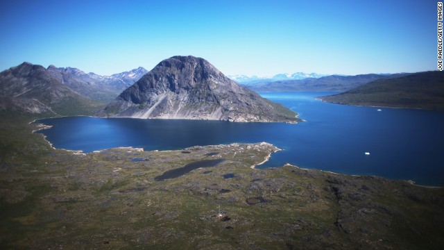 As scientists study receding ice in Greenland, many residents simply do what they've always done: adapt.
  "We're used to change,'' said Greenlander Pilu Neilsen. "We learn to adapt to whatever comes. If all the glaciers melt, we'll just get more land." Nielsen and his brother Kunuk, piloting the boat, try to capture a goat that became stuck at the bottom of a cliff near the water on the family's farm on July 30 in Qaqortoq.
 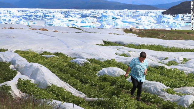 Arnaq Egede works among the plants in her family's potato farm on July 31 in Qaqortoq. The farm, the largest in Greenland, has seen an extended crop-growing season because of climate change.
 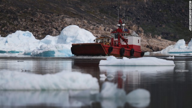 A boat navigates among calved icebergs from the nearby Twin Glacier on July 31 near Qaqortoq. Boats are a crucial mode of transportation in a country that has few roads.
 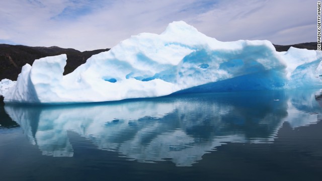 Calved icebergs from the Twin Glacier float July 30 near Qaqortoq.
 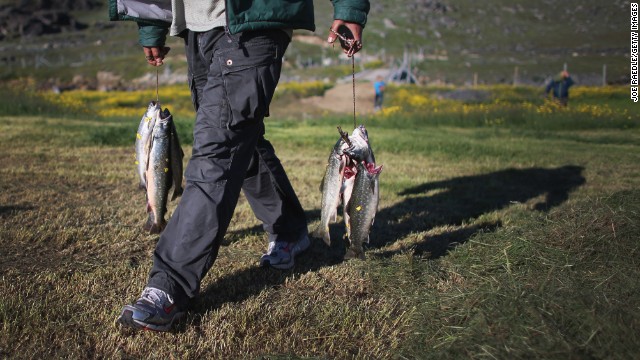 Trout caught in a stream July 30 in Qaqortoq. Even though this summer has not been as warm as last year, the warmer weather has extended the growing season. Greenland adapts to climate change
 The discovery is a byproduct of the intense scientific focus on Greenland amid concerns about rising global temperatures. The radar images were shot by NASA's Operation IceBridge, which flies aircraft over the island because the ice sheet is too thick for satellite-based radar to penetrate, said Michael Studinger, the project's lead scientist.
Bamber and colleagues from Bristol, the University of Calgary in Canada and Urbino University in Italy published their findings Thursday in the journal Science. They were trying to compile an updated set of ice-sheet records when they noticed "this long linear feature that seemed to be pretty continuous," Bamber said.
"It looks like it was a pretty extensive river system millions of years ago," he said.
The find isn't a "first-order concern" for scientists studying climate change but will help researchers understand how the ice ebbs and flows across the face of Greenland and other polar environments, Bamber said.
The main reason Greenland is under study is to record the height of the ice above it, not to map the land beneath, Studinger said. The existence of the canyon is "basically a tiny piece in the big puzzle of what's going on in Greenland," but still an exciting find, he said.
"We live in the 21st century, and we are still discovering 750-kilometer features under the Greenland ice sheet that we didn't know about," he said.
As climate warms, Arctic spawns massive ice islands


